2016
SE7323 : Goole, River Ouse and Dutch River: aerial 2016
taken 8 years ago, near to Goole, East Riding of Yorkshire, England
This is 1 of 7 images, with title starting with Goole in this square
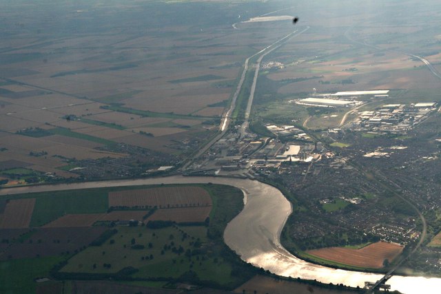
Goole, River Ouse and Dutch River: aerial 2016
 Map © Crown Copyright")
TIP: Click the map for more Large scale mapping
- Grid Square
- SE7323, 43 images (more nearby 🔍)
- Photographer
- Chris (more nearby)
- Date Taken
- Sunday, 21 August, 2016 (more nearby)
- Submitted
- Monday, 22 August, 2016
- Subject Location
-
OSGB36:
 SE 736 232 [100m precision]
WGS84: 53:42.0413N 0:53.1994W - Camera Location
-
OSGB36: SE 818 261
- View Direction
- West-southwest (about 247 degrees)