2016
C9944 : Portnahastul
taken 8 years ago, near to Dunseverick, Co Antrim, Northern Ireland
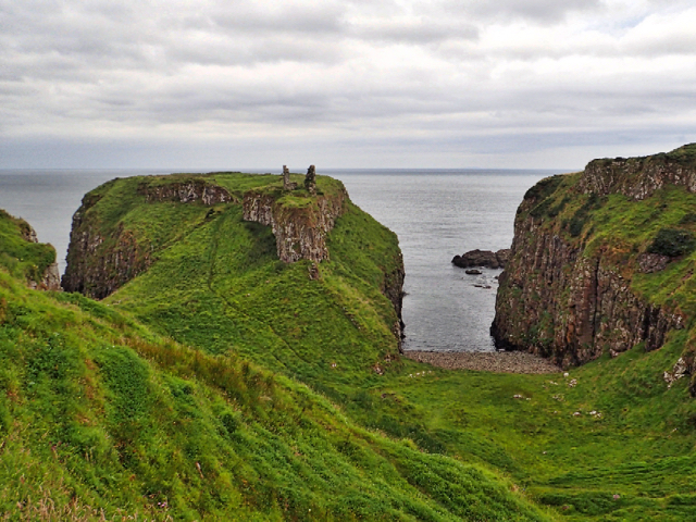
Portnahastul
The bay to the east of ruined Dunseverick Castle.
Loading map... (JavaScript required)
- Grid Square
- C9944, 59 images (more nearby 🔍)
- Photographer
- Mick Garratt (more nearby)
- Date Taken
- Tuesday, 2 August, 2016 (more nearby)
- Submitted
- Tuesday, 23 August, 2016
- Subject Location
-
Irish:
 C 994 444 [100m precision]
WGS84: 55:14.2440N 6:26.2753W - Camera Location
-
Irish: C 994 443
- View Direction
- North-northeast (about 22 degrees)