2016
NS2363 : Black Burn
taken 8 years ago, 3 km from Middleton, North Ayrshire, Scotland
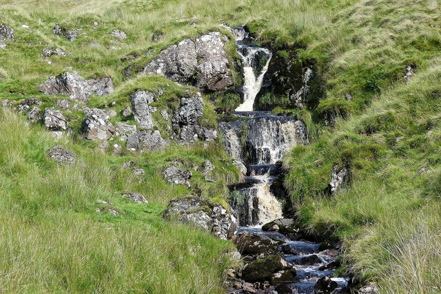
Black Burn
Black Burn (waterfalls)
 Map © Crown Copyright")
TIP: Click the map for more Large scale mapping
- Grid Square
- NS2363, 9 images (more nearby 🔍)
- Photographer
- Raibeart MacAoidh (more nearby)
- Date Taken
- Wednesday, 24 August, 2016 (more nearby)
- Submitted
- Thursday, 25 August, 2016
- Subject Location
-
OSGB36:
 NS 239 637 [100m precision]
WGS84: 55:50.0586N 4:48.7788W - Camera Location
-
OSGB36: NS 239 636
- View Direction
- Northeast (about 45 degrees)