2016
TL0328 : Steep path off the Icknield Way Trail
taken 8 years ago, near to Upper Sundon, Central Bedfordshire, England
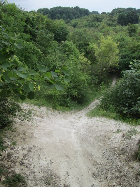
Steep path off the Icknield Way Trail
 Map © Crown Copyright")
TIP: Click the map for more Large scale mapping
- Grid Square
- TL0328, 76 images (more nearby 🔍)
- Photographer
- Peter S (more nearby)
- Date Taken
- Sunday, 24 July, 2016 (more nearby)
- Submitted
- Thursday, 25 August, 2016
- Subject Location
-
OSGB36:
 TL 039 285 [100m precision]
WGS84: 51:56.7555N 0:29.3425W - Camera Location
-
OSGB36: TL 039 285
- View Direction
- Northwest (about 315 degrees)