2016
SE4698 : Cattle grid, Cod Beck
taken 8 years ago, near to Osmotherley, North Yorkshire, England
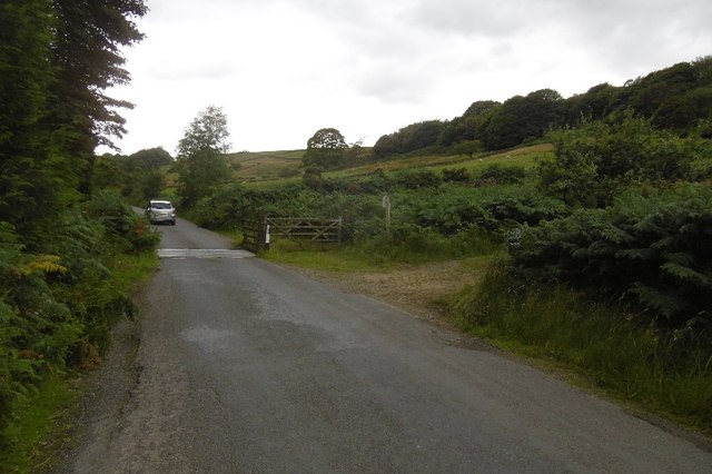
Cattle grid, Cod Beck
The road leaves the moor after crossing Scarth Gap.
 Map © Crown Copyright")
TIP: Click the map for more Large scale mapping
- Grid Square
- SE4698, 85 images (more nearby 🔍)
- Photographer
- Richard Webb (more nearby)
- Date Taken
- Wednesday, 10 August, 2016 (more nearby)
- Submitted
- Friday, 26 August, 2016
- Subject Location
-
OSGB36:
 SE 4637 9883 [10m precision]
WGS84: 54:22.9716N 1:17.2530W - Camera Location
-
OSGB36: SE 4639 9885
- View Direction
- Southwest (about 225 degrees)