2016
TQ1517 : Buckells Farm, Honeybridge Lane
taken 8 years ago, near to Dial Post, West Sussex, England
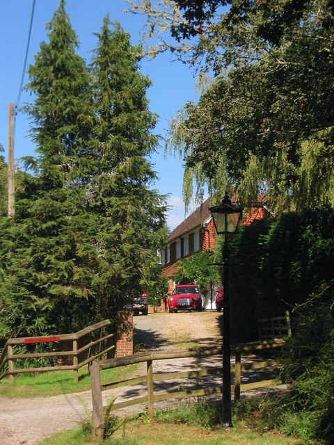
Buckells Farm, Honeybridge Lane
Spelling for this farmhouse seems to veer from Buckells to Buckles; the current OS map has the former whilst the local district council's planning page seems to favour the latter. Called Buckells House on West Grinstead's 1841 tithe map so the dwelling dates back to at least the 19th century.
 Map © Crown Copyright")
TIP: Click the map for more Large scale mapping
- Grid Square
- TQ1517, 50 images (more nearby 🔍)
- Photographer
- Simon Carey (more nearby)
- Date Taken
- Tuesday, 30 August, 2016 (more nearby)
- Submitted
- Thursday, 1 September, 2016
- Subject Location
-
OSGB36:
 TQ 1585 1765 [10m precision]
WGS84: 50:56.7994N 0:21.1359W - Camera Location
-
OSGB36: TQ 1585 1762
- View Direction
- NORTH (about 0 degrees)