SO7167 : Church of St Andrew, Stockton on Teme
taken 8 years ago, near to Stockton on Teme, Worcestershire, England
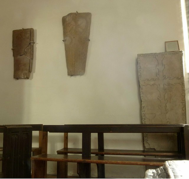
The church dates back to the 12th century and consists simply of nave and chancel with western bell turret. The nave largely belongs to this period, although new windows were created in the 14th century, so the most obvious early items are the chancel arch with its carvings over, and the south door. Both arch and doorway were thoroughly restored in the 19th century. The octagonal bowl of the font is thought to date from the foundation of the church, although the pedestal is 19th century.
The chancel collapsed in 1716 and was rebuilt in brick on the old foundations. The communion rails probably date from this period and the altar table is late 16th century. The chancel also contains the unusual wooden tomb memorial to Thomas Walshe.
Further restoration work was carried out in 1845 and 1897, although this did not alter the essential character of the fabric.
The church is Listed Grade II*.
 Map © Crown Copyright")
- Grid Square
- SO7167, 61 images (more nearby 🔍)
- Photographer
- Alan Murray-Rust (more nearby)
- Date Taken
- Friday, 2 September, 2016 (more nearby)
- Submitted
- Monday, 5 September, 2016
- Subject Location
-
OSGB36:
 SO 7162 6733 [10m precision]
WGS84: 52:18.2010N 2:25.0577W - Camera Location
-
OSGB36: SO 7162 6733
- View Direction
- NORTH (about 0 degrees)