2007
SO4199 : Wilderley Hill
taken 17 years ago, near to Picklescott, Shropshire, England
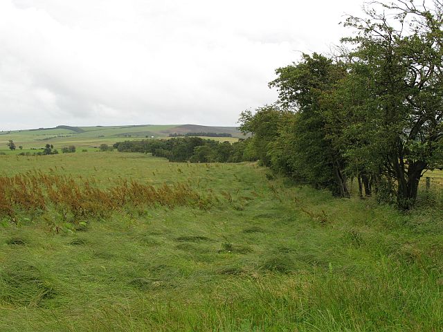
Wilderley Hill
A wet hay field 400m above sea level on the Long Mynd. The northern part of the Long Mynd has been improved, and is very different to the more familiar grouse moors on the higher southern and central parts of the hill.
 Map © Crown Copyright")
TIP: Click the map for more Large scale mapping
- Grid Square
- SO4199, 15 images (more nearby 🔍)
- Photographer
- Richard Webb (more nearby)
- Date Taken
- Thursday, 26 July, 2007 (more nearby)
- Submitted
- Tuesday, 31 July, 2007
- Subject Location
-
OSGB36:
 SO 414 994 [100m precision]
WGS84: 52:35.3648N 2:51.9321W - Camera Location
-
OSGB36: SO 414 995
- View Direction
- SOUTH (about 180 degrees)