2007
SH7037 : Overgrown sunken lane
taken 17 years ago, near to Trawsfynydd, Gwynedd, Wales
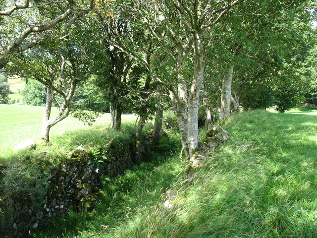
Overgrown sunken lane
 Map © Crown Copyright")
TIP: Click the map for more Large scale mapping
- Grid Square
- SH7037, 61 images (more nearby 🔍)
- Photographer
- Eric Jones (more nearby)
- Date Taken
- Saturday, 28 July, 2007 (more nearby)
- Submitted
- Tuesday, 31 July, 2007
- Subject Location
-
OSGB36:
 SH 709 370 [100m precision]
WGS84: 52:54.9300N 3:55.2595W - Camera Location
-
OSGB36: SH 709 370
- View Direction
- North-northeast (about 22 degrees)