2016
NH5537 : Moorland and plantations
taken 8 years ago, 3 km from Abriachan, Highland, Scotland
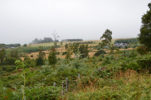
Moorland and plantations
Land west of the single-track road to Blackfold on the plateau of moorland west of Carn a' Bhodaich.
 Map © Crown Copyright")
TIP: Click the map for more Large scale mapping
- Grid Square
- NH5537, 8 images (more nearby 🔍)
- Photographer
- Jim Barton (more nearby)
- Date Taken
- Wednesday, 7 September, 2016 (more nearby)
- Submitted
- Tuesday, 13 September, 2016
- Subject Location
-
OSGB36:
 NH 5535 3795 [10m precision]
WGS84: 57:24.5308N 4:24.5696W - Camera Location
-
OSGB36: NH 5536 3787
- View Direction
- NORTH (about 0 degrees)