2016
NO1676 : Trig point and wind shelter on Glas Maol
taken 8 years ago, near to Glas Maol [hill or Mountain], Angus, Great Britain
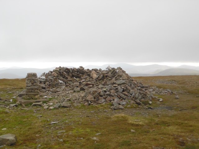
Trig point and wind shelter on Glas Maol
At 1068m, this is the highest peak in the circuit.
 Map © Crown Copyright")
TIP: Click the map for more Large scale mapping
- Grid Square
- NO1676, 37 images (more nearby 🔍)
- Photographer
- Stephen Sweeney (more nearby)
- Date Taken
- Sunday, 11 September, 2016 (more nearby)
- Submitted
- Tuesday, 13 September, 2016
- Subject Location
-
OSGB36:
 NO 1668 7656 [10m precision]
WGS84: 56:52.3756N 3:22.1129W - Camera Location
-
OSGB36: NO 1670 7661
- View Direction
- South-southwest (about 202 degrees)