2007
NM6749 : Forest Track Below Beinn Bhan
taken 17 years ago, near to Larachbeg, Highland, Scotland
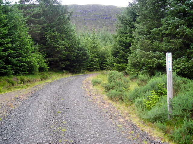
Forest Track Below Beinn Bhan
 Map © Crown Copyright")
TIP: Click the map for more Large scale mapping
- Grid Square
- NM6749, 5 images (more nearby 🔍)
- Photographer
- Iain Thompson (more nearby)
- Date Taken
- Saturday, 21 July, 2007 (more nearby)
- Submitted
- Tuesday, 31 July, 2007
- Subject Location
-
OSGB36:
 NM 676 493 [100m precision]
WGS84: 56:34.7010N 5:47.1328W - Camera Location
-
OSGB36: NM 676 493
- View Direction
- West-southwest (about 247 degrees)