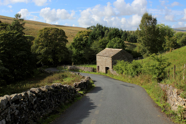
SD7784 : Descending into Upper Dentdale
taken 8 years ago, near to Stone House, Cumbria, England
A 78 mile long walk from Ilkley to Bowness.
The Dales Way mainly follows attractive dales through the Yorkshire Dales National Park and Howgill Fells and the south-eastern part of the Lake District. From Ilkley it heads along Wharfedale passing Bolton Abbey, the Strid, Grassington and Buckden before crossing Cam Fell and the Pennine Way National Trail to descend to Dentdale. From here, the River Dee is followed to Sedbergh, then the Lune to the Crook of Lune. The Way crosses farmland to reach Burneside and the River Kent, which is traced for several miles before the path branches off to the finish.
There are three Dales Way Link routes from cities nearby: from Leeds (Leeds - Dales Way, 19 miles, on OS maps) and Bradford/Shipley (Shipley - Dales Way, 8 miles, on OS maps), also now with a Bradford - Shipley link, 3 miles, and from Harrogate (Harrogate - Dales Way, 20 miles)
 Map © Crown Copyright")
- Grid Square
- SD7784, 168 images (more nearby 🔍)
- Photographer
- Chris Heaton (more nearby)
- Date Taken
- Saturday, 10 September, 2016 (more nearby)
- Submitted
- Friday, 16 September, 2016
- Subject Location
-
OSGB36:
 SD 7758 8464 [10m precision]
WGS84: 54:15.4162N 2:20.7387W - Camera Location
-
OSGB36: SD 7762 8462
- View Direction
- West-northwest (about 292 degrees)