2016
SK8268 : The Trent Valley Way
taken 8 years ago, near to Spalford, Nottinghamshire, England
This is 1 of 2 images, with title starting with The Trent Valley in this square
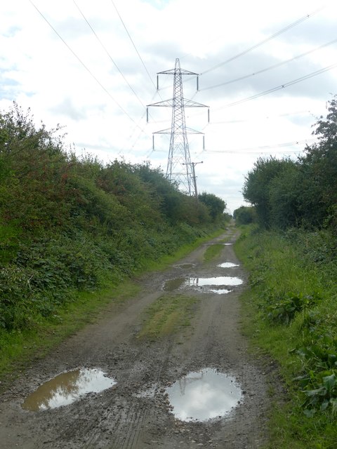
The Trent Valley Way
Here on a strip of land between the lagoons of former sand and gravel quarries
 Map © Crown Copyright")
TIP: Click the map for more Large scale mapping
- Grid Square
- SK8268, 14 images (more nearby 🔍)
- Photographer
- Graham Hogg (more nearby)
- Date Taken
- Monday, 12 September, 2016 (more nearby)
- Submitted
- Sunday, 18 September, 2016
- Subject Location
-
OSGB36:
 SK 8232 6815 [10m precision]
WGS84: 53:12.2435N 0:46.1407W - Camera Location
-
OSGB36: SK 8233 6832
- View Direction
- SOUTH (about 180 degrees)