2016
TQ2507 : Restricted byway going northwards north of Portslade
taken 8 years ago, near to Mile Oak, Brighton And Hove, England
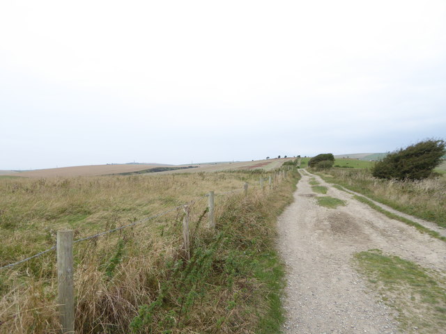
Restricted byway going northwards north of Portslade
This is used by the Monarch's Way.
 Map © Crown Copyright")
TIP: Click the map for more Large scale mapping
- Grid Square
- TQ2507, 46 images (more nearby 🔍)
- Photographer
- Shazz (more nearby)
- Date Taken
- Monday, 19 September, 2016 (more nearby)
- Submitted
- Monday, 19 September, 2016
- Subject Location
-
OSGB36:
 TQ 2540 0796 [10m precision]
WGS84: 50:51.4540N 0:13.1828W - Camera Location
-
OSGB36: TQ 2541 0789
- View Direction
- North-northwest (about 337 degrees)