2016
TQ1921 : Pond Field
taken 8 years ago, near to Littleworth, West Sussex, England
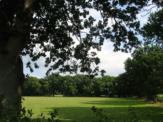
Pond Field
The name of the field according to West Grinstead's 1841 tithe map that is bounded by the grounds of Danefold House to the north, TQ1921 : Site of Swains Plantations to the south and TQ1921 : Long Eight Acres to the west.
 Map © Crown Copyright")
TIP: Click the map for more Large scale mapping
- Grid Square
- TQ1921, 83 images (more nearby 🔍)
- Photographer
- Simon Carey (more nearby)
- Date Taken
- Sunday, 18 September, 2016 (more nearby)
- Submitted
- Tuesday, 20 September, 2016
- Subject Location
-
OSGB36:
 TQ 1925 2177 [10m precision]
WGS84: 50:58.9797N 0:18.1523W - Camera Location
-
OSGB36: TQ 1916 2176
- View Direction
- EAST (about 90 degrees)