2016
SK3241 : View east off Inn Lane
taken 8 years ago, near to Quarndon, Derbyshire, England
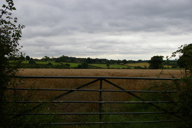
View east off Inn Lane
 Map © Crown Copyright")
TIP: Click the map for more Large scale mapping
- Grid Square
- SK3241, 23 images (more nearby 🔍)
- Photographer
- Christopher Hilton (more nearby)
- Date Taken
- Monday, 22 August, 2016 (more nearby)
- Submitted
- Tuesday, 20 September, 2016
- Subject Location
-
OSGB36:
 SK 3269 4116 [10m precision]
WGS84: 52:58.0086N 1:30.8835W - Camera Location
-
OSGB36: SK 3260 4118
- View Direction
- East-southeast (about 112 degrees)