2016
ST8320 : Lane past Froghole Farm
taken 8 years ago, near to Guy's Marsh, Dorset, England
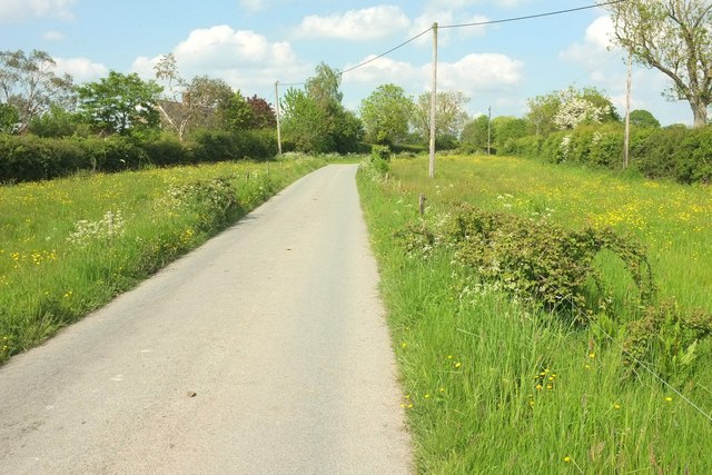
Lane past Froghole Farm
The narrow fields on either side make one think this may have been a drove. the road begins an increasingly steep climb.
 Map © Crown Copyright")
TIP: Click the map for more Large scale mapping
- Grid Square
- ST8320, 13 images (more nearby 🔍)
- Photographer
- Derek Harper (more nearby)
- Date Taken
- Thursday, 26 May, 2016 (more nearby)
- Submitted
- Thursday, 22 September, 2016
- Subject Location
-
OSGB36:
 ST 8359 2085 [10m precision]
WGS84: 50:59.2089N 2:14.1098W - Camera Location
-
OSGB36: ST 8356 2080
- View Direction
- North-northeast (about 22 degrees)