2016
SU5119 : Stroudwood Lane
taken 8 years ago, near to Lower Upham, Hampshire, England
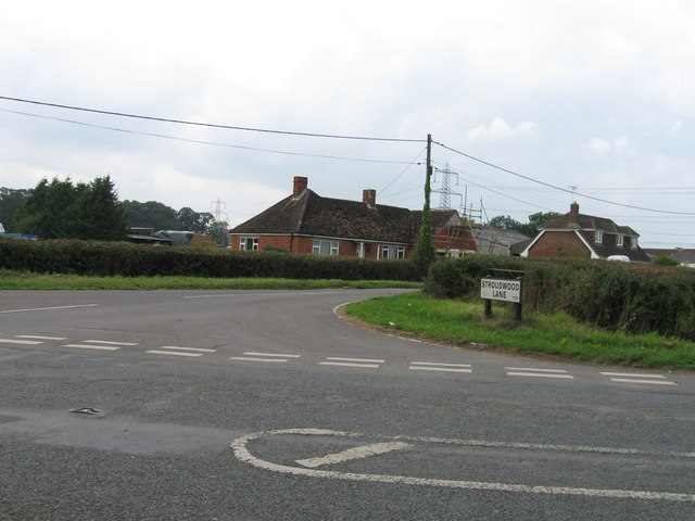
Stroudwood Lane
 Map © Crown Copyright")
TIP: Click the map for more Large scale mapping
- Grid Square
- SU5119, 22 images (more nearby 🔍)
- Photographer
- Alex McGregor (more nearby)
- Date Taken
- Wednesday, 21 September, 2016 (more nearby)
- Submitted
- Thursday, 22 September, 2016
- Subject Location
-
OSGB36:
 SU 5138 1922 [10m precision]
WGS84: 50:58.2068N 1:16.1781W - Camera Location
-
OSGB36: SU 5139 1921
- View Direction
- North-northwest (about 337 degrees)