2016
TG2309 : The River Wensum
taken 8 years ago, near to Norwich, Norfolk, England
This is 1 of 14 images, with title starting with The River in this square
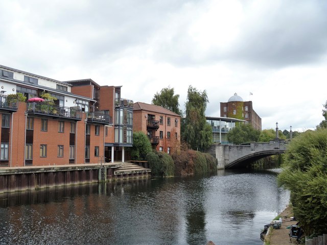
The River Wensum
Seen from the riverside walk. Included in the view are the town house and flats at St Edmund's Wharf, Whitefriars Bridge, at St James' Works.
 Map © Crown Copyright")
TIP: Click the map for more Large scale mapping
- Grid Square
- TG2309, 1928 images (more nearby 🔍)
- Photographer
- Michael Dibb (more nearby)
- Date Taken
- Sunday, 4 September, 2016 (more nearby)
- Submitted
- Friday, 23 September, 2016
- Subject Location
-
OSGB36:
 TG 2343 0917 [10m precision]
WGS84: 52:38.0554N 1:18.0245E - Camera Location
-
OSGB36: TG 2338 0910
- View Direction
- Northeast (about 45 degrees)