2016
TR0779 : Red Sands fort
taken 8 years ago, 10 km NNE of Warden, Kent, England
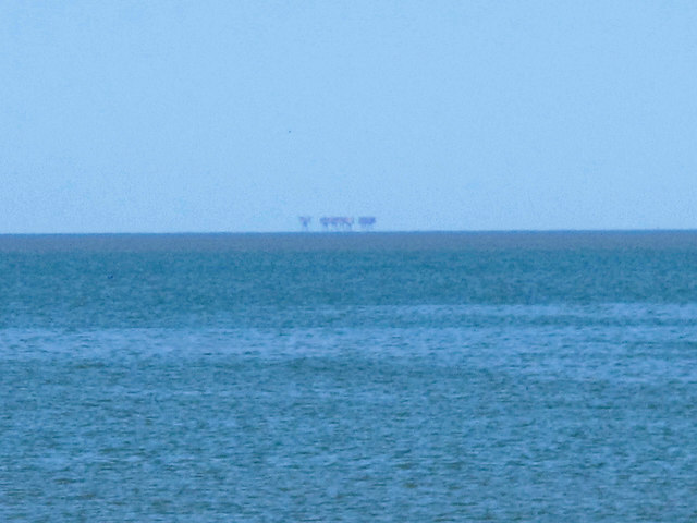
Red Sands fort
For info about the fort, see TR0779 : The towers of Red Sand fort (photographed by Stephan Czapski) and the Wiki entry on the Maunsell Forts Link .
.
Photo taken from near Lower Island, Whitstable, in TR0965.
Photo taken from near Lower Island, Whitstable, in TR0965.
 Map © Crown Copyright")
TIP: Click the map for more Large scale mapping
- Grid Square
- TR0779, 48 images (more nearby 🔍)
- Photographer
- Mike Quinn (more nearby)
- Date Taken
- Wednesday, 21 September, 2016 (more nearby)
- Submitted
- Friday, 23 September, 2016
- Subject Location
-
OSGB36:
 TR 0788 7943 [10m precision]
WGS84: 51:28.5373N 0:59.5240E - Camera Location
-
OSGB36: TR 0996 6596
- View Direction
- NORTH (about 0 degrees)