1978
NN4580 : Watershed at the head of Loch na h-Earba
taken 46 years ago, 4 km ESE of Moy, Highland, Scotland
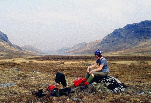
Watershed at the head of Loch na h-Earba
 Map © Crown Copyright")
TIP: Click the map for more Large scale mapping
- Grid Square
- NN4580, 21 images (more nearby 🔍)
- Photographer
- Alan Reid (more nearby)
- Date Taken
- Sunday, 23 April, 1978 (more nearby)
- Submitted
- Saturday, 24 September, 2016
- Subject Location
-
OSGB36:
 NN 4587 8087 [10m precision]
WGS84: 56:53.6094N 4:31.9119W - Camera Location
-
OSGB36: NN 4583 8084
- View Direction
- Northeast (about 45 degrees)