2007
SH4774 : Drainage ditch and overgrown flood prevention embankment at the NE end of Cors Malltraeth
taken 17 years ago, near to Pentre Berw, Isle of Anglesey/Sir Ynys Mon, Wales
This is 1 of 2 images, with title starting with Drainage in this square
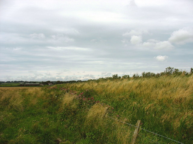
Drainage ditch and overgrown flood prevention embankment at the NE end of Cors Malltraeth
Afon Cefni flows on the other side of the embankment.
 Map © Crown Copyright")
TIP: Click the map for more Large scale mapping
- Grid Square
- SH4774, 9 images (more nearby 🔍)
- Photographer
- Eric Jones (more nearby)
- Date Taken
- Wednesday, 1 August, 2007 (more nearby)
- Submitted
- Wednesday, 1 August, 2007
- Subject Location
-
OSGB36:
 SH 472 741 [100m precision]
WGS84: 53:14.5462N 4:17.3944W - Camera Location
-
OSGB36: SH 473 740
- View Direction
- Northwest (about 315 degrees)