2016
HU3731 : 'Access Shetland'
taken 8 years ago, near to Houss, East Burra, Shetland Islands, Scotland
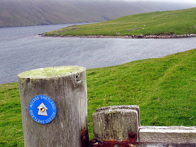
'Access Shetland'
Path to Ayres Dyke and Houss Ness.
 Map © Crown Copyright")
TIP: Click the map for more Large scale mapping
- Grid Square
- HU3731, 31 images (more nearby 🔍)
- Photographer
- John Lucas (more nearby)
- Date Taken
- Wednesday, 21 September, 2016 (more nearby)
- Submitted
- Sunday, 25 September, 2016
- Subject Location
-
OSGB36:
 HU 3769 3111 [10m precision]
WGS84: 60:3.7778N 1:19.4884W - Camera Location
-
OSGB36: HU 37695 31156
- View Direction
- SOUTH (about 180 degrees)