2007
SU1739 : Pasture beside RAF Boscombe Down
taken 17 years ago, 3 km from Amesbury, Wiltshire, England
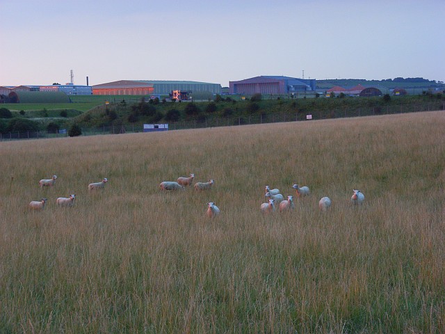
Pasture beside RAF Boscombe Down
The buildings are reflecting the glow of the faint evening sun.
 Map © Crown Copyright")
TIP: Click the map for more Large scale mapping
- Grid Square
- SU1739, 4 images (more nearby 🔍)
- Photographer
- Andrew Smith (more nearby)
- Date Taken
- Wednesday, 1 August, 2007 (more nearby)
- Submitted
- Thursday, 2 August, 2007
- Subject Location
-
OSGB36:
 SU 170 394 [100m precision]
WGS84: 51:9.2164N 1:45.4988W - Camera Location
-
OSGB36: SU 170 394
- View Direction
- North-northeast (about 22 degrees)