2016
NT2273 : Henderland Road
taken 8 years ago, 3 km from Corstorphine, Edinburgh, Scotland
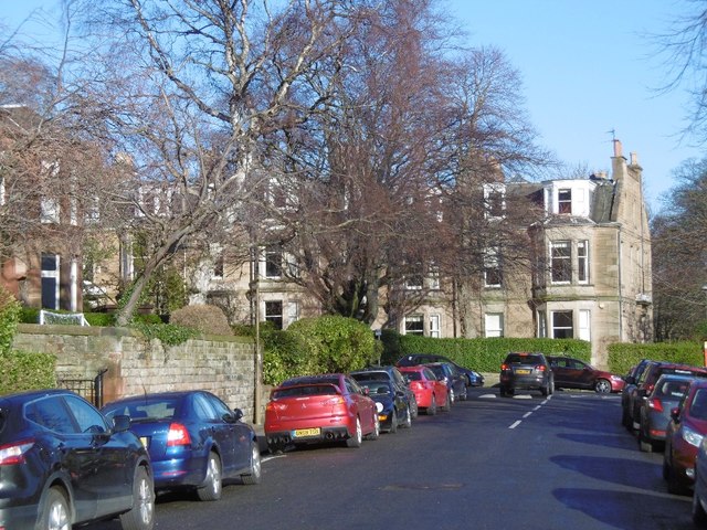
Henderland Road
Murrayfield.
 Map © Crown Copyright")
TIP: Click the map for more Large scale mapping
- Grid Square
- NT2273, 192 images (more nearby 🔍)
- Photographer
- Richard Webb (more nearby)
- Date Taken
- Monday, 8 February, 2016 (more nearby)
- Submitted
- Tuesday, 27 September, 2016
- Subject Location
-
OSGB36:
 NT 2294 7355 [10m precision]
WGS84: 55:56.9269N 3:14.1310W - Camera Location
-
OSGB36: NT 2291 7353
- View Direction
- Northeast (about 45 degrees)