2016
TL4940 : Bridle way to Chesterford
taken 8 years ago, near to Strethall, Essex, England
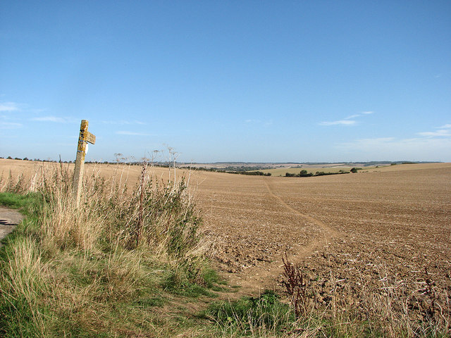
Bridle way to Chesterford
A standard-issue Essex County Council concrete finger post points along a bridle way (reinstated after cultivation) which is part of the Icknield Way Trail. Keith Edkins was here in May 2008: TL4940 : The Parting of the Yellow Sea.
 Map © Crown Copyright")
TIP: Click the map for more Large scale mapping
- Grid Square
- TL4940, 40 images (more nearby 🔍)
- Photographer
- John Sutton (more nearby)
- Date Taken
- Wednesday, 28 September, 2016 (more nearby)
- Submitted
- Wednesday, 28 September, 2016
- Subject Location
-
OSGB36:
 TL 4911 4067 [10m precision]
WGS84: 52:2.6625N 0:10.3689E - Camera Location
-
OSGB36: TL 4907 4063
- View Direction
- Northeast (about 45 degrees)