2016
TQ3204 : The Lake, Queen's Park
taken 8 years ago, near to Kemp Town, Brighton And Hove, England
This is 1 of 2 images, with title The Lake, Queen's Park in this square
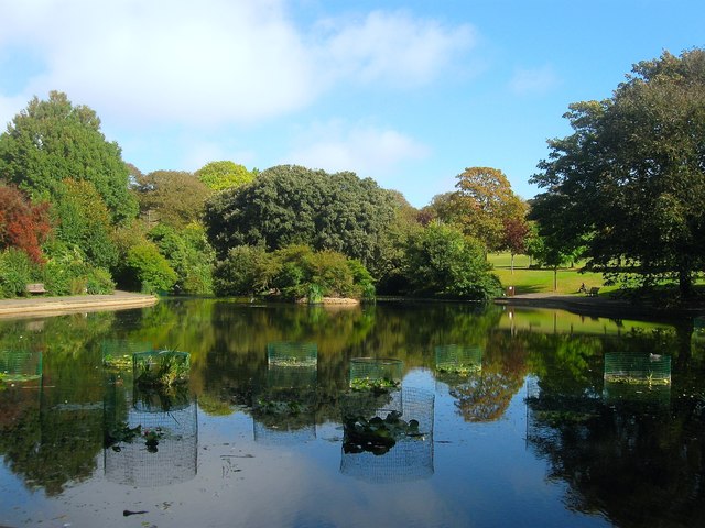
The Lake, Queen's Park
Excavated in the 1890s when the Corporation relaid the park for public use. Previously the area that lies in a small valley had been a skating rink.
The park was first laid out in 1824 as a subscription park, acquired by Thomas Attree in 1825 who commissioned Charles Barry to design two entry arches and a villa in 1829, the latter was demolished in 1972. The park was given its current name in 1836 and presented to the Corporation in 1891 for use as a public park. It was laid out again over the following year and formally opened in 1892.
The park was first laid out in 1824 as a subscription park, acquired by Thomas Attree in 1825 who commissioned Charles Barry to design two entry arches and a villa in 1829, the latter was demolished in 1972. The park was given its current name in 1836 and presented to the Corporation in 1891 for use as a public park. It was laid out again over the following year and formally opened in 1892.
 Map © Crown Copyright")
TIP: Click the map for more Large scale mapping
- Grid Square
- TQ3204, 264 images (more nearby 🔍)
- Photographer
- Simon Carey (more nearby)
- Date Taken
- Wednesday, 28 September, 2016 (more nearby)
- Submitted
- Saturday, 1 October, 2016
- Subject Location
-
OSGB36:
 TQ 3208 0439 [10m precision]
WGS84: 50:49.4397N 0:7.5687W - Camera Location
-
OSGB36: TQ 3205 0436
- View Direction
- Northeast (about 45 degrees)