2016
TQ1851 : North Downs Way on Box Hill
taken 8 years ago, near to Dorking, Surrey, England
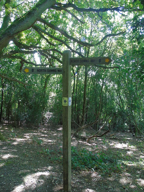
North Downs Way on Box Hill
This waymarker for the North Downs Way is just to the east of Salomon's Memorial on Box Hill, Surrey.
 Map © Crown Copyright")
TIP: Click the map for more Large scale mapping
- Grid Square
- TQ1851, 54 images (more nearby 🔍)
- Photographer
- Carroll Pierce (more nearby)
- Date Taken
- Friday, 9 September, 2016 (more nearby)
- Submitted
- Sunday, 9 October, 2016
- Subject Location
-
OSGB36:
 TQ 1803 5119 [10m precision]
WGS84: 51:14.8607N 0:18.6176W - Camera Location
-
OSGB36: TQ 1801 5121
- View Direction
- Southeast (about 135 degrees)