2016
SK6292 : Field near Bawtry Road
taken 8 years ago, near to Harworth, Nottinghamshire, England
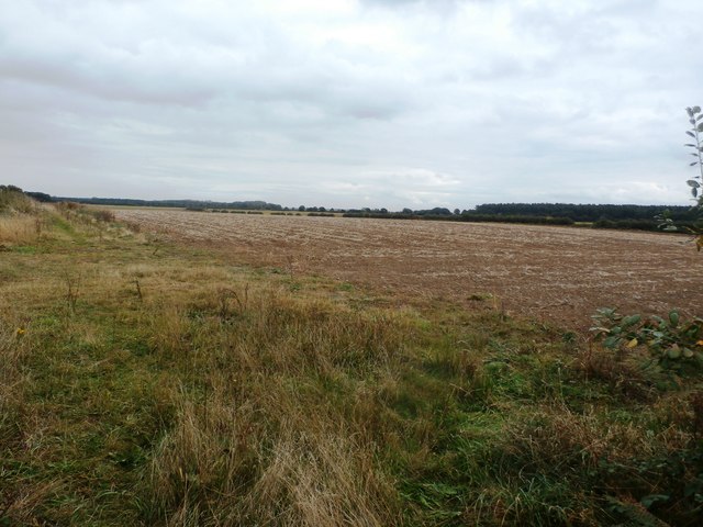
Field near Bawtry Road
The overgrown track on the left heads to Tickhill Grange.
 Map © Crown Copyright")
TIP: Click the map for more Large scale mapping
- Grid Square
- SK6292, 13 images (more nearby 🔍)
- Photographer
- Jonathan Clitheroe (more nearby)
- Date Taken
- Friday, 7 October, 2016 (more nearby)
- Submitted
- Sunday, 9 October, 2016
- Subject Location
-
OSGB36:
 SK 6233 9273 [10m precision]
WGS84: 53:25.6612N 1:3.8050W - Camera Location
-
OSGB36: SK 6226 9267
- View Direction
- Northeast (about 45 degrees)