2016
SD5119 : Holker Lane
taken 8 years ago, near to Croston, Lancashire, England
This is 1 of 3 images, with title Holker Lane in this square
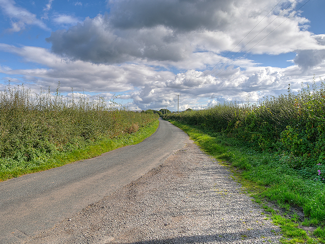
Holker Lane
Single-track rural road leading to Leyland Lane.
 Map © Crown Copyright")
TIP: Click the map for more Large scale mapping
- Grid Square
- SD5119, 12 images (more nearby 🔍)
- Photographer
- David Dixon (more nearby)
- Date Taken
- Sunday, 9 October, 2016 (more nearby)
- Submitted
- Sunday, 9 October, 2016
- Subject Location
-
OSGB36:
 SD 511 196 [100m precision]
WGS84: 53:40.2723N 2:44.4803W - Camera Location
-
OSGB36: SD 510 196
- View Direction
- East-southeast (about 112 degrees)