2007
SH4975 : Another view of the farm buildings at Plas Penmynydd
taken 17 years ago, near to Ceint, Isle of Anglesey/Sir Ynys Mon, Wales
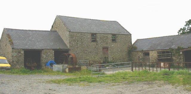
Another view of the farm buildings at Plas Penmynydd
 Map © Crown Copyright")
TIP: Click the map for more Large scale mapping
- Grid Square
- SH4975, 24 images (more nearby 🔍)
- Photographer
- Eric Jones (more nearby)
- Date Taken
- Wednesday, 1 August, 2007 (more nearby)
- Submitted
- Friday, 3 August, 2007
- Subject Location
-
OSGB36:
 SH 495 750 [100m precision]
WGS84: 53:15.0798N 4:15.4352W - Camera Location
-
OSGB36: SH 495 751
- View Direction
- Southwest (about 225 degrees)