2016
SX5156 : Drake's Trail
taken 8 years ago, 3 km from Plympton, Plymouth, England
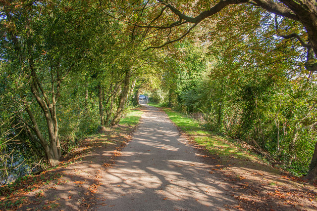
Drake's Trail
Heading north after passing under the A38.
 Map © Crown Copyright")
TIP: Click the map for more Large scale mapping
- Grid Square
- SX5156, 179 images (more nearby 🔍)
- Photographer
- Guy Wareham (more nearby)
- Date Taken
- Wednesday, 12 October, 2016 (more nearby)
- Submitted
- Thursday, 13 October, 2016
- Subject Location
-
OSGB36:
 SX 5192 5665 [10m precision]
WGS84: 50:23.4622N 4:5.0726W - Camera Location
-
OSGB36: SX 5190 5662
- View Direction
- North-northeast (about 22 degrees)