2016
SZ0381 : Benchmark on boundary stone, Studland Hill
taken 8 years ago, near to Studland, Dorset, England
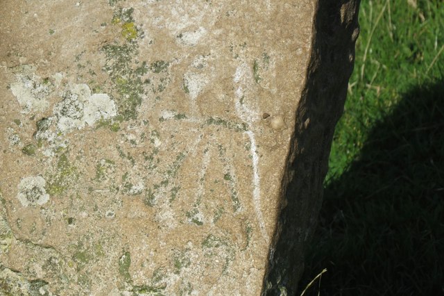
Benchmark on boundary stone, Studland Hill
Ordnance Survey benchmark, described on database at Link . See also SZ0381 : Boundary stone on Ballard Down.
 Map © Crown Copyright")
TIP: Click the map for more Large scale mapping
- Grid Square
- SZ0381, 111 images (more nearby 🔍)
- Photographer
- Becky Williamson (more nearby)
- Date Taken
- Sunday, 9 October, 2016 (more nearby)
- Submitted
- Friday, 14 October, 2016
- Subject Location
-
OSGB36:
 SZ 0303 8127 [10m precision]
WGS84: 50:37.8672N 1:57.5112W - Camera Location
-
OSGB36: SZ 03036 81274
- View Direction
- NORTH (about 0 degrees)