2016
H3677 : Garvaghullion Townland
taken 8 years ago, 5 km NE of Drumquin, Co Tyrone, Northern Ireland
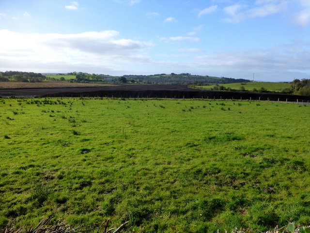
Garvaghullion Townland
Pictured along Leglands Road
Loading map... (JavaScript required)
- Grid Square
- H3677, 81 images (more nearby 🔍)
- Photographer
- Kenneth Allen (more nearby)
- Date Taken
- Tuesday, 18 October, 2016 (more nearby)
- Submitted
- Tuesday, 18 October, 2016
- Subject Location
-
Irish:
 H 368 770 [100m precision]
WGS84: 54:38.3895N 7:25.8298W - Camera Location
-
Irish: H 368 770
- View Direction
- South-southwest (about 202 degrees)