2016
SJ0176 : Footpath between Meadow Brook Farm and Bryn-carrog Farm, Rhuddlan
taken 8 years ago, near to Pengwern, Denbighshire/Sir Ddinbych, Wales
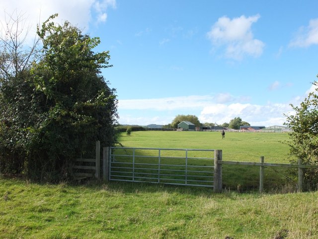
Footpath between Meadow Brook Farm and Bryn-carrog Farm, Rhuddlan
 Map © Crown Copyright")
TIP: Click the map for more Large scale mapping
- Grid Square
- SJ0176, 10 images (more nearby 🔍)
- Photographer
- Gary Rogers (more nearby)
- Date Taken
- Sunday, 16 October, 2016 (more nearby)
- Submitted
- Tuesday, 18 October, 2016
- Subject Location
-
OSGB36:
 SJ 0145 7697 [10m precision]
WGS84: 53:16.8308N 3:28.7722W - Camera Location
-
OSGB36: SJ 0147 7698
- View Direction
- Southwest (about 225 degrees)