2015
SJ1643 : Pasture north-east of Glyndyfrdwy, Denbighshire
taken 9 years ago, near to Glyndyfrdwy, Denbighshire/Sir Ddinbych, Wales
This is 1 of 3 images, with title Pasture north-east of Glyndyfrdwy, Denbighshire in this square
Pasture north-east of Glyndyfrdwy, Denbighshire
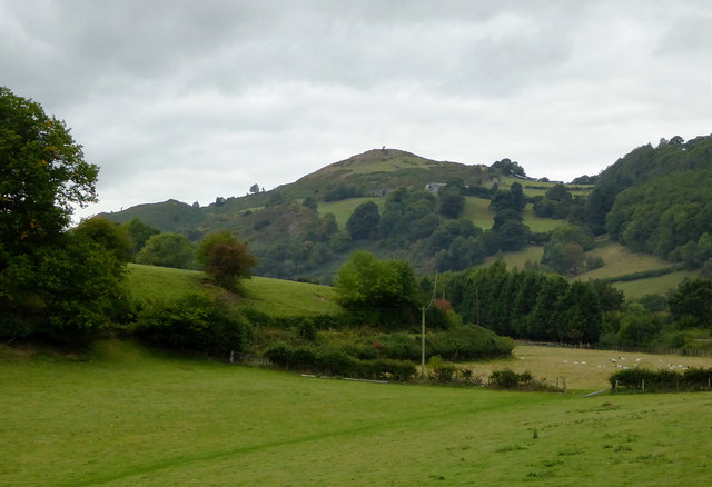
The Dee valley by Garthydwr farm is shown as seen from a west-bound train on the Llangollen Railway.
The summit on the skyline is of Craig y Rhos.
The summit on the skyline is of Craig y Rhos.
 Map © Crown Copyright")
TIP: Click the map for more Large scale mapping
- Grid Square
- SJ1643, 23 images (more nearby 🔍)
- Photographer
- Roger D Kidd (more nearby)
- Date Taken
- Sunday, 20 September, 2015 (more nearby)
- Submitted
- Tuesday, 18 October, 2016
- Subject Location
-
OSGB36:
 SJ 1626 4330 [10m precision]
WGS84: 52:58.8286N 3:14.9203W - Camera Location
-
OSGB36: SJ 1638 4327
- View Direction
- West-northwest (about 292 degrees)