2016
HU4741 : Fort Charlotte
taken 8 years ago, near to Lerwick, Mainland, Shetland Islands, Scotland
This is 1 of 2 images, with title Fort Charlotte in this square
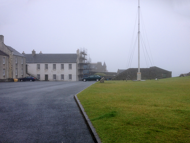
Fort Charlotte
The original fort was built 1666-67, at the start of the Second Anglo-Dutch War. It was rebuilt and enlarged during the War of American Independence (1776-83), when Britain was opposed by the naval forces of Spain, France and the states of northern Europe and given the name Fort Charlotte, after the wife of George III.
It is scheduled monument as it is of national importance as an almost completely preserved example of a late or 18th-century coastal battery and associated barrack (Historic Scotland SM90145 Link ) and a Category A listed building (Historic Scotland LB37255 Link ).
It is scheduled monument as it is of national importance as an almost completely preserved example of a late or 18th-century coastal battery and associated barrack (Historic Scotland SM90145 Link
 Map © Crown Copyright")
TIP: Click the map for more Large scale mapping
- Grid Square
- HU4741, 1142 images (more nearby 🔍)
- Photographer
- David Dixon (more nearby)
- Date Taken
- Sunday, 10 July, 2016 (more nearby)
- Submitted
- Tuesday, 18 October, 2016
- Subject Location
-
OSGB36:
 HU 475 415 [100m precision]
WGS84: 60:9.3294N 1:8.7073W - Camera Location
-
OSGB36: HU 475 414
- View Direction
- North-northwest (about 337 degrees)