2016
SY5198 : Poorton, footpath
taken 7 years ago, near to Poorton, Dorset, England
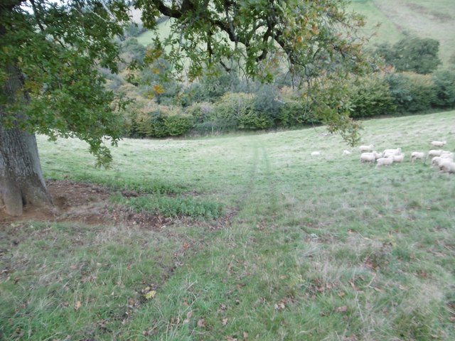
Poorton, footpath
Dropping down the coombe through a sheep grazing, on the path to Loscombe: Link (Archive Link )
 Map © Crown Copyright")
TIP: Click the map for more Large scale mapping
- Grid Square
- SY5198, 88 images (more nearby 🔍)
- Photographer
- Mike Faherty (more nearby)
- Date Taken
- Wednesday, 19 October, 2016 (more nearby)
- Submitted
- Wednesday, 19 October, 2016
- Subject Location
-
OSGB36:
 SY 5119 9803 [10m precision]
WGS84: 50:46.7869N 2:41.6207W - Camera Location
-
OSGB36: SY 5119 9803
- View Direction
- WEST (about 270 degrees)