2016
SD5105 : Clock and pub in Up Holland
taken 8 years ago, near to Up Holland, Lancashire, England
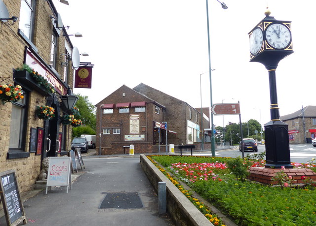
Clock and pub in Up Holland
The pub is the Victoria, at the junction of Mill Lane and Ormskirk Road.
 Map © Crown Copyright")
TIP: Click the map for more Large scale mapping
- Grid Square
- SD5105, 35 images (more nearby 🔍)
- Photographer
- Mat Fascione (more nearby)
- Date Taken
- Monday, 27 June, 2016 (more nearby)
- Submitted
- Thursday, 20 October, 2016
- Subject Location
-
OSGB36:
 SD 517 053 [100m precision]
WGS84: 53:32.5378N 2:43.7383W - Camera Location
-
OSGB36: SD 517 053
- View Direction
- EAST (about 90 degrees)