2016
TF2479 : The valley of the Bain
taken 8 years ago, near to Goulceby, Lincolnshire, England
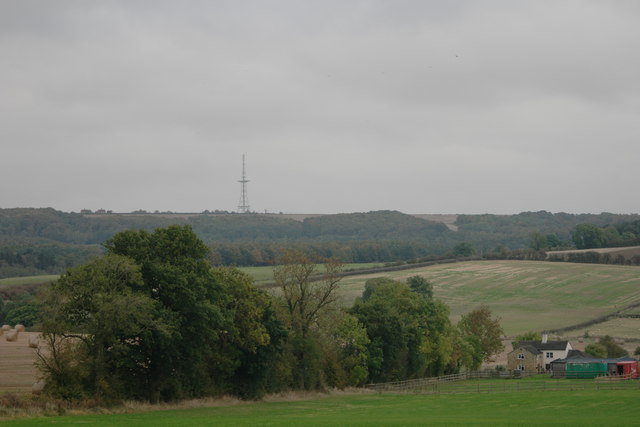
The valley of the Bain
Typical Wold landscape, looking over the valley of the River Bain
See TF2582 : RAF Stenigot for a telephoto zoom of the mast
See TF2582 : RAF Stenigot for a telephoto zoom of the mast
 Map © Crown Copyright")
TIP: Click the map for more Large scale mapping
- Grid Square
- TF2479, 14 images (more nearby 🔍)
- Photographer
- Bob Harvey (more nearby)
- Date Taken
- Wednesday, 19 October, 2016 (more nearby)
- Submitted
- Friday, 21 October, 2016
- Subject Location
-
OSGB36:
 TF 243 797 [100m precision]
WGS84: 53:18.0011N 0:8.1057W - Camera Location
-
OSGB36: TF 239 790
- View Direction
- North-northeast (about 22 degrees)