2016
TM1382 : Durbridge's Hill sign
taken 8 years ago, near to Burston, Norfolk, England
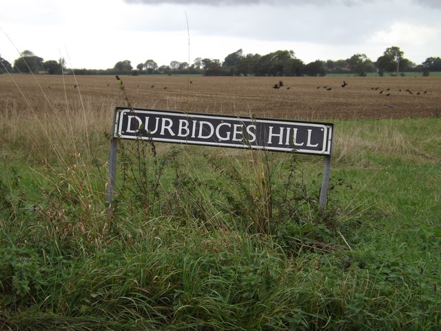
Durbridge's Hill sign
On Durbridge's Hill at the junction with Diss Road & Back Lane
 Map © Crown Copyright")
TIP: Click the map for more Large scale mapping
- Grid Square
- TM1382, 37 images (more nearby 🔍)
- Photographer
- Geographer (more nearby)
- Date Taken
- Saturday, 8 October, 2016 (more nearby)
- Submitted
- Saturday, 22 October, 2016
- Subject Location
-
OSGB36:
 TM 13154 82882 [1m precision]
WGS84: 52:24.1449N 1:7.9179E - Camera Location
-
OSGB36: TM 13154 82882
- View Direction
- WEST (about 270 degrees)