2007
NO7056 : Montrose from the south shore of Montrose Basin
taken 17 years ago, near to Kirkton of Craig, Angus, Scotland
This is 1 of 3 images, with title starting with Montrose in this square
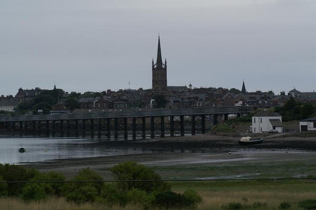
Montrose from the south shore of Montrose Basin
 Map © Crown Copyright")
TIP: Click the map for more Large scale mapping
- Grid Square
- NO7056, 117 images (more nearby 🔍)
- Photographer
- Mike Pennington (more nearby)
- Date Taken
- Sunday, 5 August, 2007 (more nearby)
- Submitted
- Sunday, 5 August, 2007
- Subject Location
-
OSGB36:
 NO 704 568 [100m precision]
WGS84: 56:42.1399N 2:29.0123W - Camera Location
-
OSGB36: NO 700 565
- View Direction
- Northeast (about 45 degrees)