2016
NT1762 : Path to Black Hill
taken 7 years ago, 3 km from Silverburn, Midlothian, Scotland
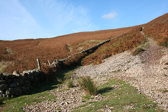
Path to Black Hill
The narrow path climbing steeply up from the head of Green Cleugh passes along the north slope of Black Hill and crosses an arm of Threipmuir Reservoir near Harlaw.
 Map © Crown Copyright")
TIP: Click the map for more Large scale mapping
- Grid Square
- NT1762, 46 images (more nearby 🔍)
- Photographer
- Anne Burgess (more nearby)
- Date Taken
- Tuesday, 25 October, 2016 (more nearby)
- Submitted
- Tuesday, 25 October, 2016
- Subject Location
-
OSGB36:
 NT 1790 6253 [10m precision]
WGS84: 55:50.9375N 3:18.7710W - Camera Location
-
OSGB36: NT 1790 6247
- View Direction
- NORTH (about 0 degrees)