2007
NJ5703 : Macbeth's Stone, West of Lumphanan
taken 17 years ago, near to Lumphanan, Aberdeenshire, Scotland
This is 1 of 2 images, with title Macbeth's Stone, West of Lumphanan in this square
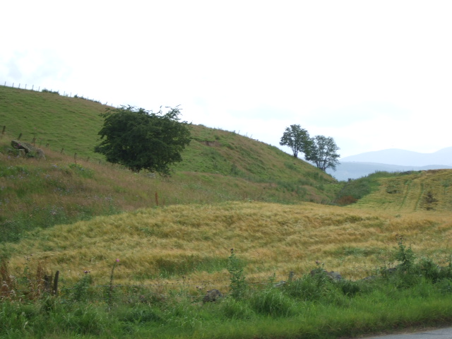
Macbeth's Stone, West of Lumphanan
Macbeth's Cairn (Stone) is mapped at NO57500343, and is the small boulder on the rising ground to the right of the disused railway track cutting (and just left of vehicle tracks through the field). Legend has it that the wounded Macbeth was beheaded here by Malcolm III.
 Map © Crown Copyright")
TIP: Click the map for more Large scale mapping
- Grid Square
- NJ5703, 108 images (more nearby 🔍)
- Photographer
- Stanley Howe (more nearby)
- Date Taken
- Saturday, 4 August, 2007 (more nearby)
- Submitted
- Monday, 6 August, 2007
- Subject Location
-
OSGB36:
 NJ 575 034 [100m precision]
WGS84: 57:7.1898N 2:42.2095W - Camera Location
-
OSGB36: NJ 576 035
- View Direction
- Southwest (about 225 degrees)