2016
ST6614 : Humpy Lane, Alweston
taken 7 years ago, near to Alweston, Dorset, England
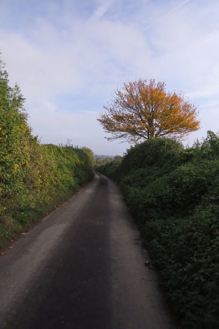
Humpy Lane, Alweston
A lovely name for a road, but I haven't been able to discover the name's origins.
 Map © Crown Copyright")
TIP: Click the map for more Large scale mapping
- Grid Square
- ST6614, 13 images (more nearby 🔍)
- Photographer
- Becky Williamson (more nearby)
- Date Taken
- Sunday, 30 October, 2016 (more nearby)
- Submitted
- Friday, 4 November, 2016
- Subject Location
-
OSGB36:
 ST 6678 1441 [10m precision]
WGS84: 50:55.6907N 2:28.4432W - Camera Location
-
OSGB36: ST 66792 14409
- View Direction
- Southeast (about 135 degrees)