2016
SX1893 : Farm buildings, Trengune
taken 8 years ago, near to Wainhouse Corner, Cornwall, England
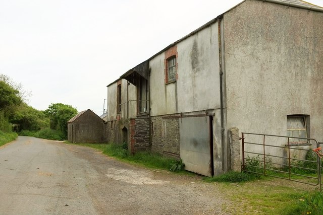
Farm buildings, Trengune
By the lane to the A39.
 Map © Crown Copyright")
TIP: Click the map for more Large scale mapping
- Grid Square
- SX1893, 10 images (more nearby 🔍)
- Photographer
- Derek Harper (more nearby)
- Date Taken
- Tuesday, 31 May, 2016 (more nearby)
- Submitted
- Sunday, 6 November, 2016
- Subject Location
-
OSGB36:
 SX 1877 9362 [10m precision]
WGS84: 50:42.8331N 4:34.1068W - Camera Location
-
OSGB36: SX 1875 9364
- View Direction
- Southeast (about 135 degrees)