2016
ST7756 : A dark past
taken 7 years ago, near to Norton st Philip, Somerset, England
A dark past
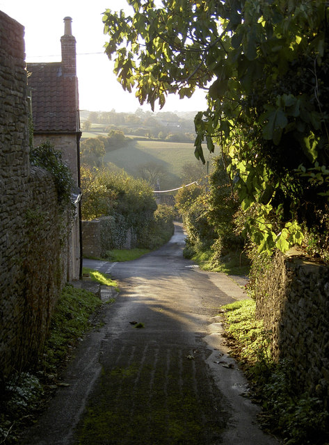
This is the upper end of Chevers Lane. Today it is a quiet and sunlit track leading quickly down Lyde Green and on to Wellow Lane. However, in 1685 this lane would have had a much more sanguine ambience; for it was here during the Monmouth Rebellion that many of the Duke's supporters were cut down and slaughtered. The locals still refer to this as Bloody Lane.
 Map © Crown Copyright")
TIP: Click the map for more Large scale mapping
- Grid Square
- ST7756, 19 images (more nearby 🔍)
- Photographer
- Neil Owen (more nearby)
- Date Taken
- Monday, 7 November, 2016 (more nearby)
- Submitted
- Tuesday, 8 November, 2016
- Subject Location
-
OSGB36:
 ST 7730 5607 [10m precision]
WGS84: 51:18.1976N 2:19.6203W - Camera Location
-
OSGB36: ST 7732 5608
- View Direction
- West-southwest (about 247 degrees)