2007
SD6493 : Path to Winder
taken 17 years ago, near to Sedbergh, Cumbria, England
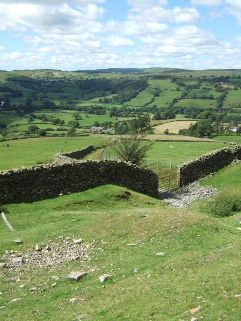
Path to Winder
Looking back down the track that leads to the road, and actually the same gate pictured here: SD6493 : Bridleway.
 Map © Crown Copyright")
TIP: Click the map for more Large scale mapping
- Grid Square
- SD6493, 18 images (more nearby 🔍)
- Photographer
- Martyn Davies (more nearby)
- Date Taken
- Sunday, 29 July, 2007 (more nearby)
- Submitted
- Wednesday, 8 August, 2007
- Subject Location
-
OSGB36:
 SD 643 930 [100m precision]
WGS84: 54:19.8785N 2:33.0291W - View Direction
- West-southwest (about 247 degrees)