2016
TF3380 : Road from Haugham to Ruckland: aerial 2016
taken 7 years ago, near to Haugham, Lincolnshire, England
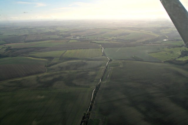
Road from Haugham to Ruckland: aerial 2016
Maidenwell right.
 Map © Crown Copyright")
TIP: Click the map for more Large scale mapping
- Grid Square
- TF3380, 26 images (more nearby 🔍)
- Photographer
- Chris (more nearby)
- Date Taken
- Sunday, 13 November, 2016 (more nearby)
- Submitted
- Tuesday, 15 November, 2016
- Subject Location
-
OSGB36:
 TF 3350 8035 [10m precision]
WGS84: 53:18.1969N 0:0.1153E - Camera Location
-
OSGB36: TF 3390 8215
- View Direction
- South-southwest (about 202 degrees)